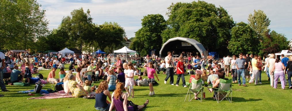
Safety is of special concern in Community Safety Zones. These zones are near schools, day cares, playgrounds, parks, hospitals, and more. We all need to move carefully in these areas, to keep facilities safe and everyone near them safer.
Within Community Safety Zones, fines for speeding or related offenses are doubled as these are areas where extra caution should be taken while driving.
Community Safety Zones have signs clearly posted at the start of and throughout the zone.
|
Current Community Safety Zones in Milton
|
- Campbell Avenue between Guelph Line and east of Wheelihan Way (Campbellville)
- Main Street at Bishop Reding High School
- Ontario Street north of Laurier Avenue and north of Main Street
- Woodward Avenue between Maple Avenue and Lorne Scott Drive
- Wilson Avenue north of Woodward Avenue south of Mackenzie Drive
-
Campbell Avenue from Guelph Line to a point 250 metres east of Wheelihan Way
-
Clark Boulevard from Thompson Road to James Snow Parkway
-
Commercial Street from Pine Street to Laurier Avenue
-
Farmstead Drive from Derry Road to Britannia Road
-
Ferguson Drive from Louis St Laurent Avenue to Derry Road
-
Laurier Avenue from Bronte Street South to Cedar Hedge Road
-
Louis St Laurent Avenue from Tremaine Road to James Snow Parkway
-
Main Street East from Thompson Road to a point 100m east of Pearson Way/Harris Boulevard
-
Martin Street from Millside Drive to Steeles Avenue East
-
Ontario Street from a point 200 metres north of Laurier Avenue to a point 50 metres north of Main Street
-
Savoline Boulevard from Main Street West to Louis St Laurent Avenue
-
Scott Boulevard from Main Street West to Dymott Avenue
-
Trudeau Drive from Louis St Laurent Avenue to James Snow Parkway
-
Wilson Drive from a point 250 metres north of Woodward Avenue to a point 200 metres south of Mackenzie Drive
-
Woodward Avenue from Maple Avenue to Lorne Scots Drive
-
Woodward Avenue from Martin Street to Ontario Street South
-
Yates Drive from Holly Avenue to Louis St Laurent Avenue
|
Check out the map below to see current and future Community Safety Zones!
This map can also be viewed in full screen.


